3 Wikipedia Pages
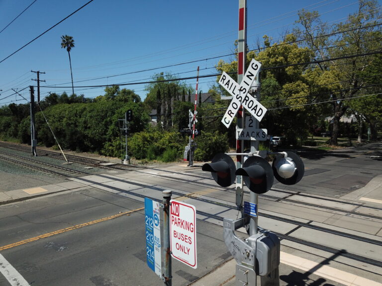
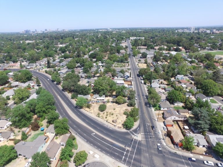
I edited 3 wikipedia pages for nearby Sacramento landmarks that were lacking pictures. Using my Mavic Pro, seeking LAANC authorization for each operation (operating in ICAO:SAC class C airspace), I took pictures to add to…

I edited 3 wikipedia pages for nearby Sacramento landmarks that were lacking pictures. Using my Mavic Pro, seeking LAANC authorization for each operation (operating in ICAO:SAC class C airspace), I took pictures to add to…

See our new Geospatial Mapping page for examples of work in drone mapping by LiveResilient. We can use drones like the ones on that page, along with public GIS datasets or field/office research, to provide…

Kill Your Fear – Map Your City Shootings. Assaults. Property crimes, homeless camps, police brutality. Corrupt politicians, negligent media, rent spikes, and urban decay. The position of the modern metropolitan American can be a precarious…

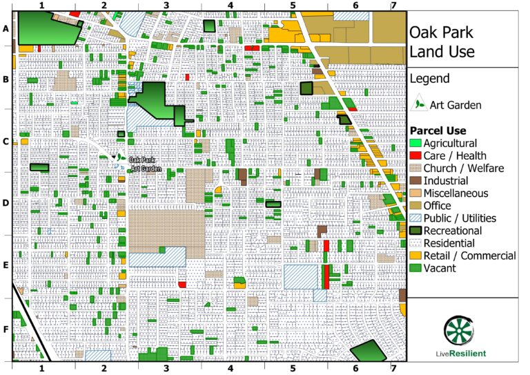
Here’s the very basic outline of what GIS (Geographic Information Systems) could do for Oak Park, in the context of a city-wide program. The program is broadly divided into 3 levels – city, district / neighborhood, and project. Program Description…