Geospatial Mapping Services
LiveResilient is accustomed to the use of small Unmanned Aircraft Systems (sUAS), aka drones, in creating media and mapping deliverables. We can yield high-quality promotional still photos and videos, along with highly detailed 3D inspection models.
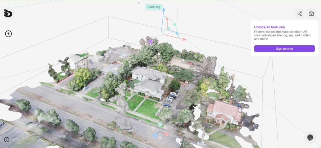
Portfolio of Sites

Equipment
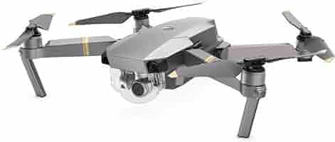
DJI Mavic Pro
30 minute flight time makes this a good choice for both media deliverables and detailed mapping.
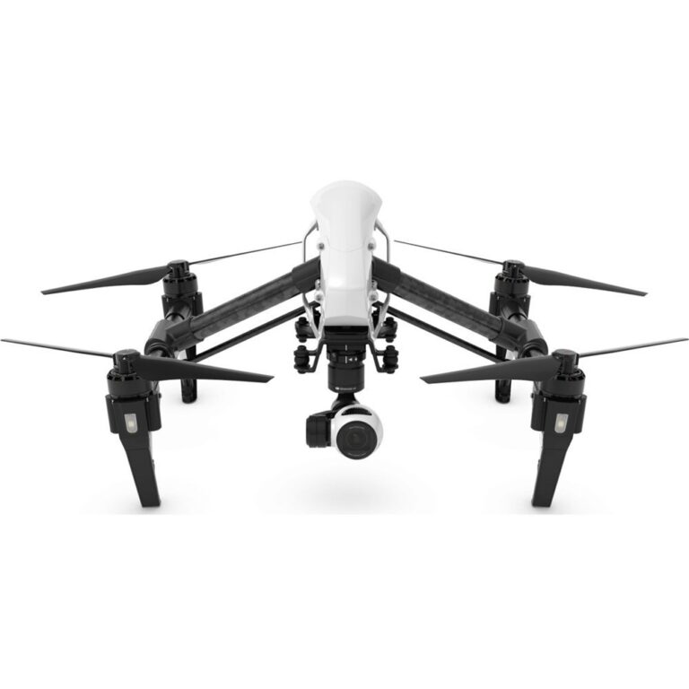
DJI Inspire 1
17 minute flight time with high stability under adverse weather conditions.