Kill Your Fear – Map Your City
Shootings. Assaults. Property crimes, homeless camps, police brutality. Corrupt politicians, negligent media, rent spikes, and urban decay. The position of the modern metropolitan American can be a precarious one. We often feel that we’ve lost our input nationally, with no recourse to fix the problems that afflict our collective life.
As depicted in Robert Putnam’s “Bowling Alone,” American life has become an isolated experience, with our common life of public ritual supplanted by isolated cliques, dinner at home in front of the TV, and more recently an abandoned public square. Lockdowns and COVID protocols drain office spaces downtown, and in our residential blocks we sit alone subsumed into digital oblivion for more hours than ever. The problems of today keep us inside and the momentum of a distrustful society make the spaces where we do encounter each other fraught with danger.
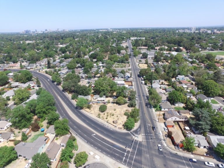
As individuals in our boxes, we may come to fear the world. We may come to feel that we are stuck and besieged, with our only desire for flight to some better place. Trapped by financial resources, this is not an option for most Americans. Our sprawled out car infrastructure transports us place to place in the city, but the interstitial passages and all within them remain a mystery. The modern city dweller knows no city but a disconnected archipelago of retail establishments, supermarkets government institutions, watering holes, and if they’re lucky – a couple parks.
Cities have never been a completely safe place. But more than ever, we are confined to houses, and our fear metastasizes – even if there was something to do, or ways to improve the neighborhood, we wouldn’t be in the habit of noticing.
The future of our cities, though, demands that we prepare to go further afield, and on foot, to re-establish a collective life. Removed from automotive sequestration, we’ll need to find ways to live a daily life closer to that of the old 30’s and 1880’s more than the suburban experience of the 80’s, 90’s, and today. We’ll need to rediscover and rebuild destinations of work, play, and sustenance closer to home.
If you’re dedicated to surviving with your city, then you’ll be served well to build a mental map extending outwards to the places you go now, and the places that surround you, thus that you can gain the courage to traverse these streets even under duress. Becoming mindful of the city, you’ll learn the proper habits of walk, and breath; what should trigger caution, and what should trigger security; what’s the normal and what’s out of place. Adopt the need to know your city and engage in a scientific inquiry that centers your existence in the context of the living settlements you truly reside in, instead of situating your conception of physical self in the diffuse concepts of nation, or of geographic place names.
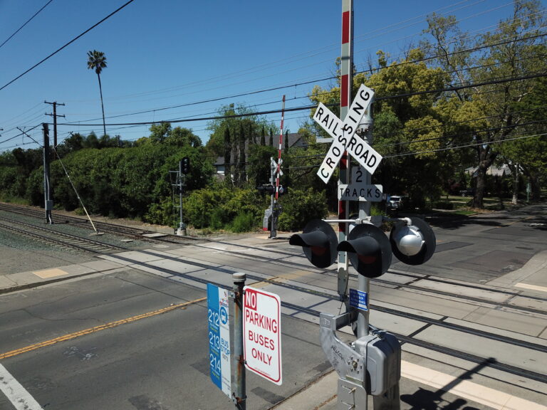
Take a long walk to the places you would taxi. Bike to the bar down the road that you don’t ordinarily go. While heading to and fro, observe and note the cross streets, physical infrastructure, natural features. Take the right instead of the left, then double back to the main route.
Build a GIS dataset of your city. Load QGIS and install the QuickMapServices plugin. Load an ESRI or Google tile layer as a basemap, and create a point for your own home. Then move on, create points for some of your local destinations. Flesh your model out further – what are the critical facilities in the area? Where are police stations, markets, corner stores, parks, firehouses, and community centers?
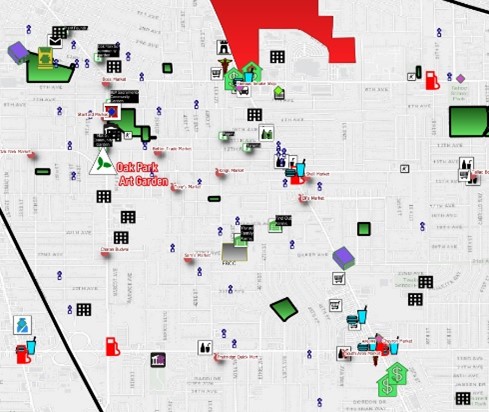
Use the QuickOSM feature to pull a broad local dataset. Examine the data’s attribute table to find what field has the category of objects, then use to categorically style objects with different icons. Use standard QGIS icons or the Resource Sharing plugin to mark different layers distinctly.
Investigate your city or county GIS. Search for SHP format datasets describing parcel data, zoning areas, infrastructure networks (water distribution systems or power lines), roads, public transportation routes, parks, and government facilities.
Expand your dataset beyond your immediate area. Grab large-scale datasets from Natural Earth to illustrate regional transport, population, and natural features. There are many different layers in these datasets – play around with them to show various aspects of your region. Similarly, grab State datasets showing power plants, transmission lines, state water projects, ecological zones, and land use datasets.
Create maps out of your many features. Situate your street, your neighborhood, and your city in its various contexts – build maps to show business. Build maps to show all the corner stores in your community. Create your own GIS layers of roadways important to you, tracing off the roads you use often in maps – this way you can style them differently based on the map.
The city evolves, it changes. Now that you have a dataset and a local map, start designing it different. Lay down new parks. Put in a local bar. Put in a bar on your street, strap solar panels to industrial warehouses. Set up food centers, evacuation routes, and distribution points. Create checkpoints, safe zones, danger corridors, red flag and green flag warnings. Invade your ritzy neighboring hood.