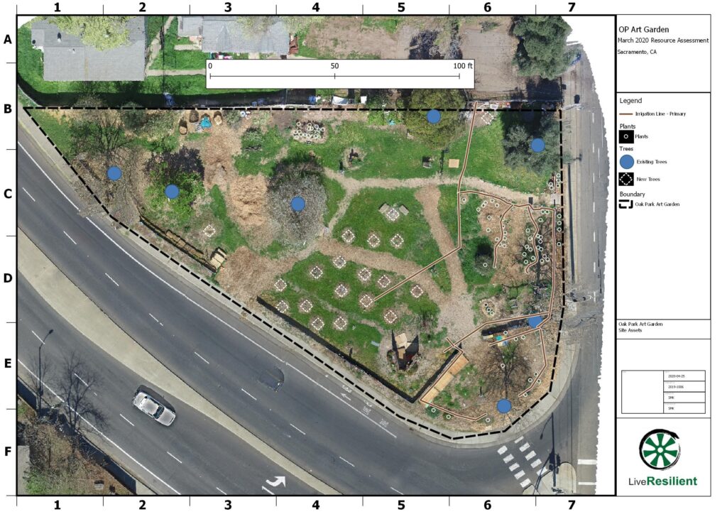
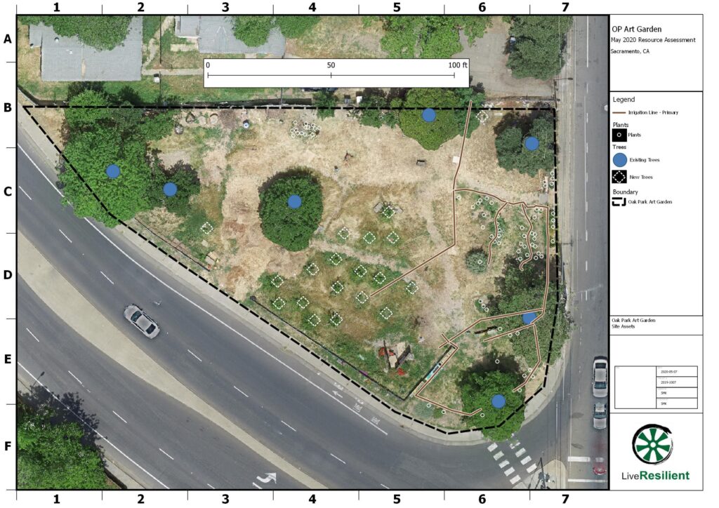
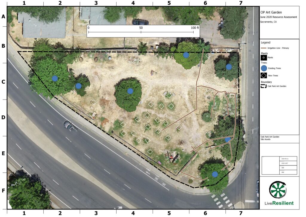
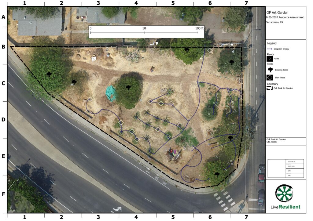
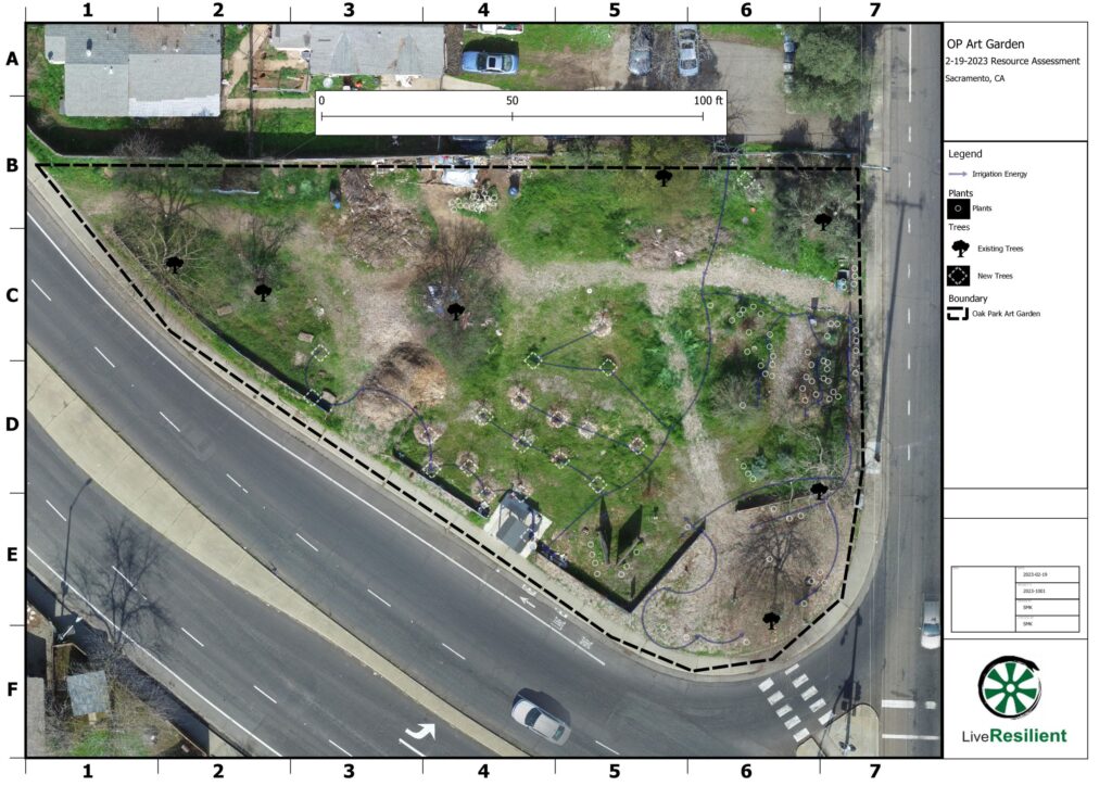
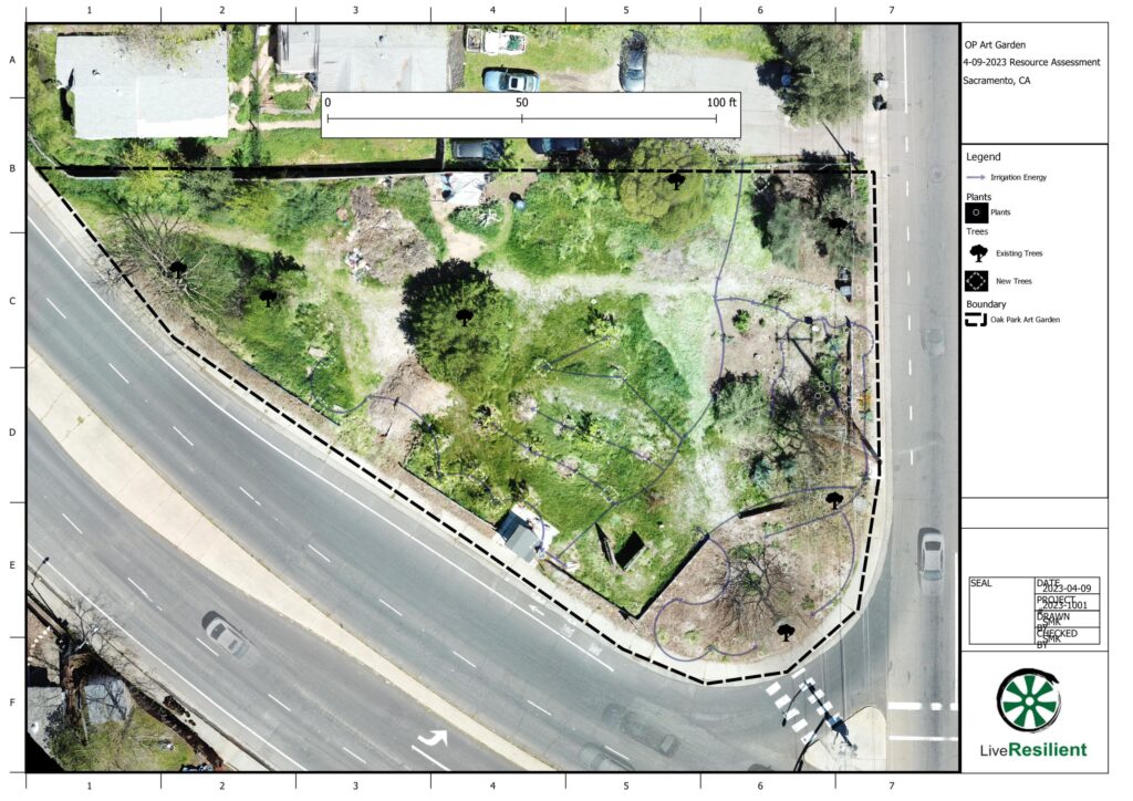
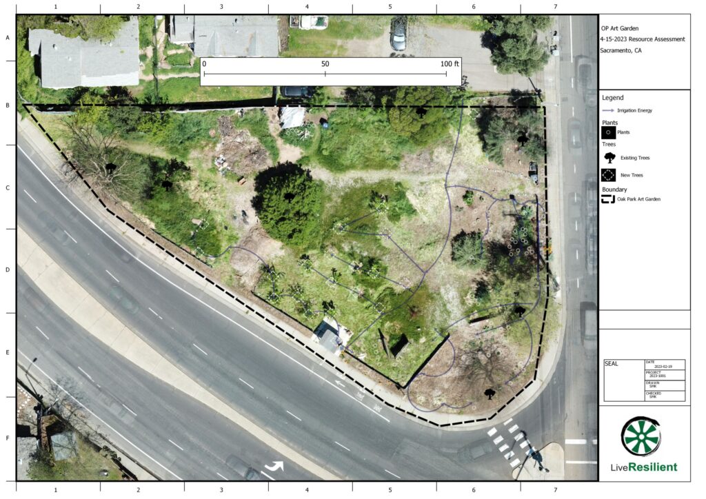
Oak Park Art Garden – Time Series Mapping
Time series mapping conducted at the Oak Park Art Garden, corner of 14th Ave and MLK Jr. Blvd., Sacramento, CA.
LiveResilient provided project support in the field beyond drone mapping, including:
- Volunteer engagement
- Event planning
- Irrigation line installation
However, the use of drones and GIS were an innovative way to provide public views of the site and the condition of the permaculture-supported urban food forest that was being built. Project mapping files are available for research and use under a Creative Commons license at the below link.
